

|
Object: 2014 MU69 (Ultima Thule) (open sky map)
|
|
Sun Dist: 6445226024.2316 km [ km/s]
Earth Dist: 6298804556.7295 km [ km/s] Perihelion: 7 Dec 2065 18:31 UTC [] |
Dec:
2014 MU69 (Ultima Thule) Live Position Tracker
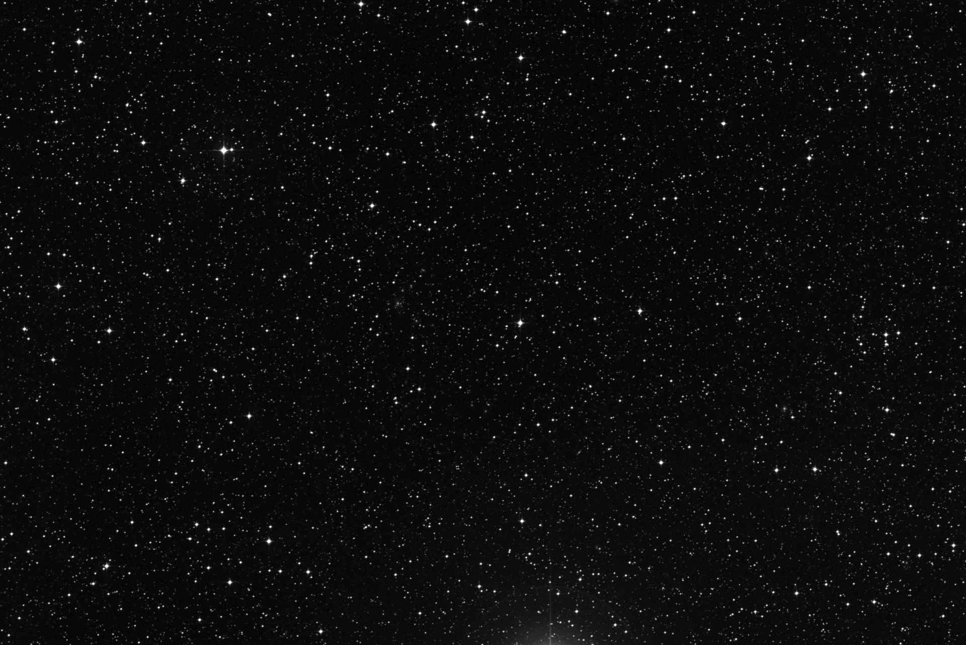
This page shows KBO 2014 MU69 (Ultima Thule) location and other relevant astronomical data in real time. The celestial coordinates, magnitude, distances and speed are updated in real time and are computed using high quality data sets provided by the JPL Horizons ephemeris service (see acknowledgements for details). The sky map shown in the background represents a rectangular portion of the sky 60x40 arcminutes wide. By comparison the diameter of the full Moon is about 30 arcmins, so the full horizontal extent of the map is approximately 2 full Moons wide. Depending on the device you are using, the map can be dragged horizondally or vertically using the mouse or touchscreen. The deep sky image in the background is provided by the Digitized Sky Survey (acknowledgements).
Current close conjunctions
List of bright objects (stars brighter than magnitude 9.0 and galaxies brighter than magmitude 14.0) close to KBO 2014 MU69 (Ultima Thule) (less than 1.5 degrees):
| Type | Name | Magnitude | Ar | Dec |
| Star | HIP 97290 | 4.7768 | 19h 46m 21s | -19° 45’ 39” |
| Star | HIP 97783 | 5.8084 | 19h 52m 12s | -19° 02’ 41” |
| Star | HIP 97031 | 8.4082 | 19h 43m 12s | -19° 06’ 43” |
| Star | HIP 97348 | 8.1748 | 19h 47m 06s | -19° 52’ 50” |
| Star | HIP 97296 | 8.8684 | 19h 46m 26s | -18° 09’ 06” |
| Star | HIP 97727 | 7.4694 | 19h 51m 35s | -19° 12’ 40” |
| Star | HIP 97130 | 8.4012 | 19h 44m 27s | -20° 47’ 16” |
| Star | HIP 97409 | 8.2754 | 19h 47m 53s | -18° 24’ 15” |
| Star | HIP 97358 | 7.5532 | 19h 47m 18s | -18° 44’ 46” |
| Star | HIP 96994 | 8.7864 | 19h 42m 50s | -18° 11’ 56” |
| Star | HIP 96873 | 8.5998 | 19h 41m 28s | -20° 05’ 06” |
Additional resources
- 15 Days Ephemerides
- Interactive Sky Map (Planetarium)
- Rise & Set Times
- Distance from Earth
- Light Curve
- Orbital Elements
Astronomy databases
This online sky chart is created using the following astronomy databases and services:
- The Digitized Sky Survey, a photographic survey of the whole sky created using images from different telescopes, including the Oschin Schmidt Telescope on Palomar Mountain
- The Hipparcos Star Catalogue, containing more than 100.000 bright stars
- The PGC 2003 Catalogue, containing information about 1 million galaxies
- The GSC 2.3 Catalogue, containing information about more than 2 billion stars and galaxies
Dec: ()

Set Location
Please set your location so we can show precisely what's visible in your night sky.
Without your location, we will use Greenwhich as a default, but visibility information and star map automatic orientation might be off.