

Solar Eclipse of May 20 2050 from Walvis Bay, Namibia
Computing...
You can search for any other location by typing into the search field below, or by clicking on any point on the map below to find out when and how the Hybrid Solar Eclipse of May 20 2050 will be visible from there.
Timezone: Loading...


Move the blue pin on the map above to change the location.
Please keep in mind that in this sky chart the North direction points upwards. The Online Planetarium provides a realistic interactive visualization which properly takes into account the rotation of the sky caused by the local observing point on Earth.
Thee eclipse KML paths used for the maps visualization on this site are provided by Xavier M. Jubier (http://xjubier.free.fr/)
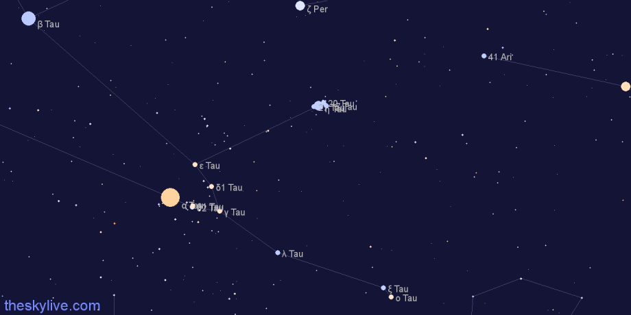
Sky Chart of Hybrid Solar Eclipse of May 20 2050
The sky chart below shows the location in the sky of the Moon, the Sun and the planets at the time of maximum eclipse. The portion of the sky represented in this sky chart is 50°x25°
In case of a total solar eclipse this chart can be useful to determine which planets are visible during the totality phase. Please keep in mind that in this sky chart the North direction (increasing Declination) points upwards. The Online Planetarium provides a realistic interactive visualization which properly takes into account the rotation of the sky caused by the local observing point on Earth.
Browse Solar Eclipses
Select a decade to visualize all the solar eclipses happeing in the selected time interval: